
1·
5 hours agoAlso, the instructions for Chouchou say to flash the firmware before adding the keyswitches. Is there any reason why i shouldn’t add those first while i’m waiting for answers here?
Cook, potter, inventor, writer, neographer, conlanger, phantasocartographer, coder, linguist, poet, blogger, chef, webmaster, speedrunner, herald, translator, songwriter, ergonomicist, pilot, miner, outrageous liar, gardener.
Also, the instructions for Chouchou say to flash the firmware before adding the keyswitches. Is there any reason why i shouldn’t add those first while i’m waiting for answers here?
Go might be a good option. It uses a simple square grid or checker board, and only has one kind of piece per player. The rules are super simple. Play time depends on the players’ skill and the size of the board.
Also good is Pente, which uses the same pieces and board as 19x19 Go. It also has simple rules and is easy to learn.
Checkers is an option. I haven’t played it enough to know how strategic it gets.
All of these are easiest to port if you have a board that rolls instead of folding.

Sure, what’s the syntax for that⸮

Turns out no, an imagemap cannot use relative units for its hotspots. Sort of. I can use whatever units i want for one corner of a rectangular hotspot, i can even mix units, but one corner has to be in px. What does work is adding a single pixel transparent image with a link, stretched to cover the hotspot. Then i can position and scale that image using vw units (vh and % won’t work) and for reasons beyond my comprehension, that just works.
I just found a workaround of my own, but thanks anyway. My site currently doesn’t use any JS so i’m putting off learning it until i have to.
My problem arises when i shrink my browser window to be less wide than the image, so it scales down to fit, and i guess the imagemap doesn’t. I found a browser extension that can highlight imagemaps, and here’s what the page looks like from a full screen and a smaller screen.


The image is being scaled down by width:100% but the map doesn’t scale with it, and uses the same pixel distances from the origin corned of the screen. I’ve added some relevant code to the initial post. The horizontal scroll bar is only brought back by the extension, normally the maps to the right (not shown here) are impossible to reach on a screen too narrow.
I guess as a workaround i could add invisible images with links at absolute positions where i currently have hotspots. (PS: tried this, found the same problems. Maybe i just don’t understand CSS positioning, maybe what i’m trying to do is impossible. Maybe i need a break, or to not work on this stuff first thing in the morning.)

That’s exactly what i was looking for. Thanks. I mostly want an easy way to make sure none of my web pages are too big, so looking in Developer Options makes sense.
Thanks for the (very fast) answers. brandon makes a good point about looking into other libraries. The Boox sounds like a lot of features i don’t need, especially since i’m trying to de-Google my life and it comes with Google Play.
Thanks for the info. I’ll be sure to get the right switches.

A compose key is a great option. You can also use something like Kanata to make a custom layout that’s the same as your normal one, but with extra characters on the AltGr layer.
Pai Sho is a family of abstract strategy games. Fire Pai Sho relies some on luck, and Respite Pai Sho is a solitaire game. Both games can be played with a Skud Pai Sho set, for which you can get printable sets here.
I’m a native (American) English speaker and i still spell words wrong all the time, as do most people i know. Part of that is that i don’t really care if a computer’s spellchecker says i should use the French “-ible” instead of the more English “-able”, and part of it is that i know English spelling can’t get any better if we never let it evolve and we try to keep it totally static by making any spelling that doesn’t agree with Merriam and Webster a point of shame.

At a glance, i already like the use of tags instead of just categories. Is this meant to succeed places like the CBB?
The clouds are just thick enough to block out sunlight, except on the tallest mountains and some very high flying islands. At the poles (not magnetic poles, but perpendicular to the sun’s rotation) you get months of sunlight or shade in summer or winter, respectively, a bit like Earth’s polar regions and their midnight sun. I haven’t put much thought into the clouds since i had the idea two years and a week ago.
The white hole is one of the things i handwave some details of. I think of it as a black hole moving backward in time, spewing out light and pushing matter away. This relies on the assumption that tachyons have negative mass, and objects with negative mass repel objects with positive mass (or at least attract them while moving backward in time, so it looks like a gravitational push to a forward-time observer). Why it only emits light and nothing else, i don’t know. The point of this is mostly that it acts as a reverse gravitational lens (or “gravitational snel” in my original notes).

Here, an observer (eye) can see an object (star) by looking right at it, or by looking almost straight up at the sun. The object would appear to be smeared across the sky, getting brighter and smaller closer to the sun. In practice it’s not quite that neat, as part of the world is always covered by clouds, and things that are really far away are hard to see in detail. But this is basically how the sky is distorted.
That’s neat. My day-night cycle is clouds that form on the side of the world where the sun isn’t. The sun itself is a white hole, so in addition to making light and heat it has a gravitational lens effect so it’s impossible to see the ground on the opposite side of it. I can elaborate on that if it doesn’t make sense.
My world is also the inner surface of a sphere with a light in the center. I considered the inside of a torus instead, but decided that would conflict with too many of my other ideas.
My world’s light source is a small sun that revolves once per day and bobs perpendicular to its rotation for summer and winter, up and down once each per year. I also have a second sun outside the sphere on an elliptical orbit, for longer periods of hot (near the planet) and cold (far), mostly to explain how geophysical heating and cooling make the surface expand and shrink to form mountains as an alternative to plate tectonics and volcanoes.
The best options i’ve found for collaborating on conlangs or worldbuilding are Discord/Revolt/whatever other clone, and Cryptpad or Google Office Suite (spreadsheets might be better than text documents). For presenting the information in a non-collaborative way, just making a simple website isn’t very hard. Or a Lemmy community could work, once the language is fleshed out enough for light use. I wonder if anything like PolyGlot for collaborative work exists.
Just a couple.
Sekkite /sεkait/ or /sεkɪt/ is a powdery, light gray mineral that repels water. In large quantities it forms deserts, and it tastes very bitter and astringent if you eat it (which you should not do).
Obstinantium is a pretty generic indestructible fantasy metal. Its name is a play on stuff like adamantite. It looks pearlescent and thin layers are translucent.
I didn’t know LibreOffice is collaborative. I’d be interested in trying something like this.
A while ago i worked out what phonemes are used in the 5 or so most widely spoken languages, and came up with /n m j w t k f s p/ and /a e i u/. If i remember right all of those are in at least 3.


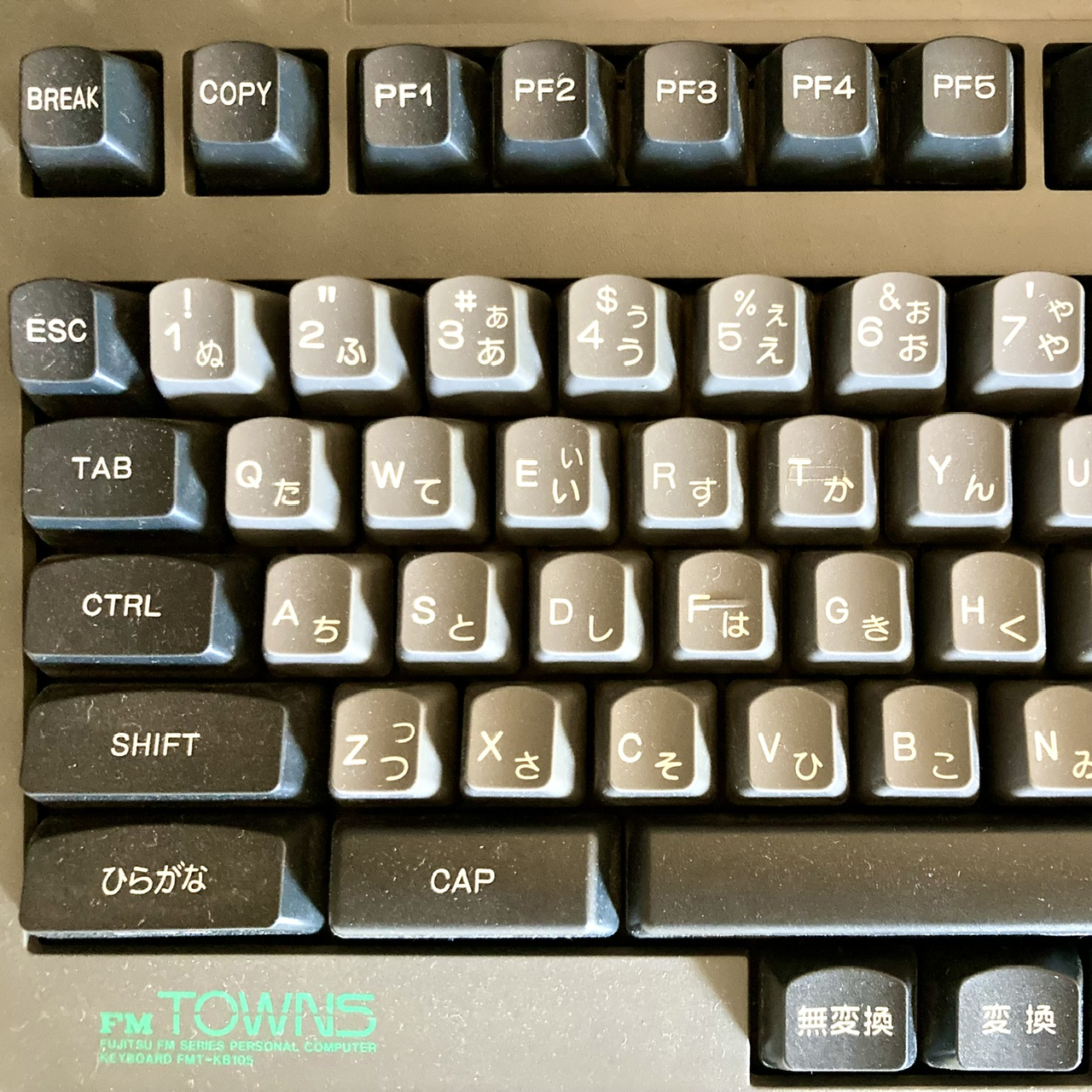

I’m struggling to find evidence of anyone besides dlip using Chouchou. I guess i could set every key to something more normal and use Kanata to set up the chording, or i could learn QMK and make the files i need from scratch. The default keymap doesn’t work as it is.
I just remembered to open an issue on GitHub, so hopefully that gets me some answers.